Scenes acquired at very low altitudes
All the flight paths have been acquired at a flight height between 6 and 15 meters, allowing to test and develop algorithms for tasks such as parallax error correction and Structure from Motion.
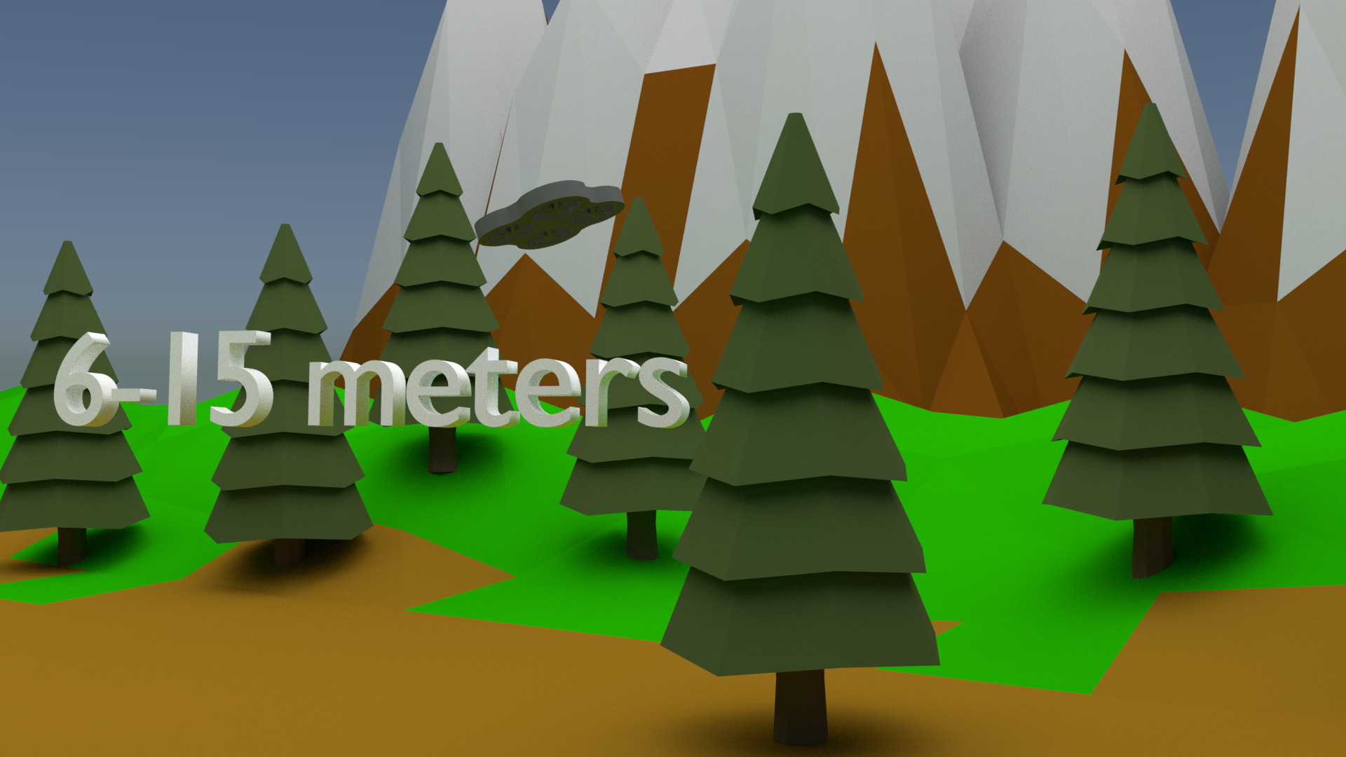
All the flight paths have been acquired at a flight height between 6 and 15 meters, allowing to test and develop algorithms for tasks such as parallax error correction and Structure from Motion.
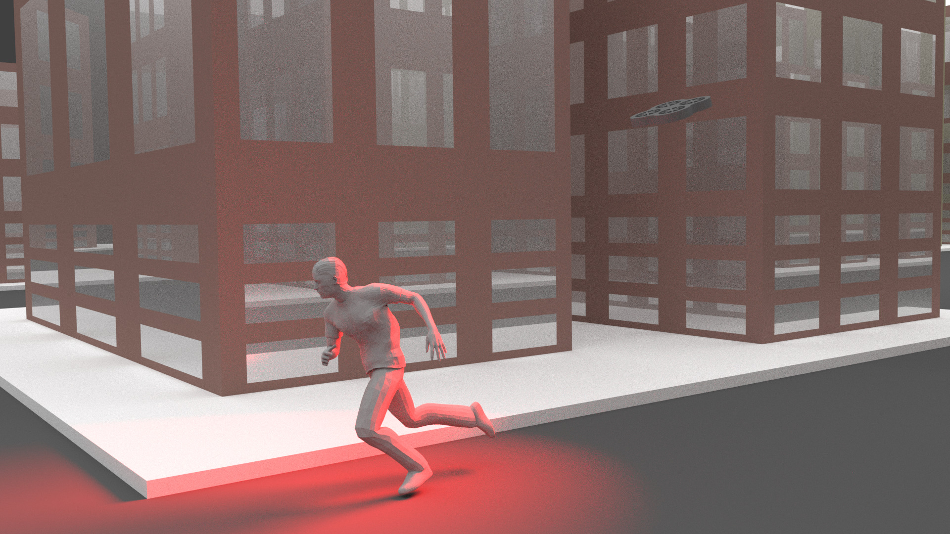
Each flight path has 2 videos. The first is the basic path, and the second is the same path with changes to be spotted.
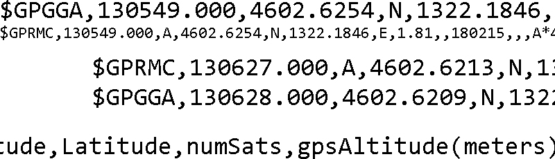
Telemetry data such as flight height, speed and GPS coordinates is provided together with videos allowing the development of complex algorithms.
The password for the UMCD Dataset must be required at the following e-mail: avola@di.uniroma1.it
The UMCD Dataset (about 3.50GB) is composed of two main sets of challenging video sequences acquired at very low-altitude. The first set consists of 30 not geo-referenced sequences that can be used only to evaluate mosaicking algorithms. The second set is made up of 10 pairs of geo-referenced sequences (i.e., 20 videos) in which the first can be used to build the mosaic and the second, acquired on the same path, can be used to test change detection algorithms. The geo-referencing allows developers to reduce drastically the number of matching during the search of entities. The dataset is freely available only for research purposes.
If you make use of the UMCD Dataset, please use the following citation: